Google Maps introduces Motorcycle Mode
Google has introduced ‘motorcycle mode’ in Google maps, a more efficient planning tool for those on two-wheels to plan their journey. This function first started in Indonesia but has since been adapted to local conditions. In Indonesia, for example, motorcycle users are more interested and prone to use small lanes (or jalan tikus as we say it), Malaysian motorcyclists using the new ‘motorcycle mode’ are also informed of restricted roads where their vehicle is not allowed on.
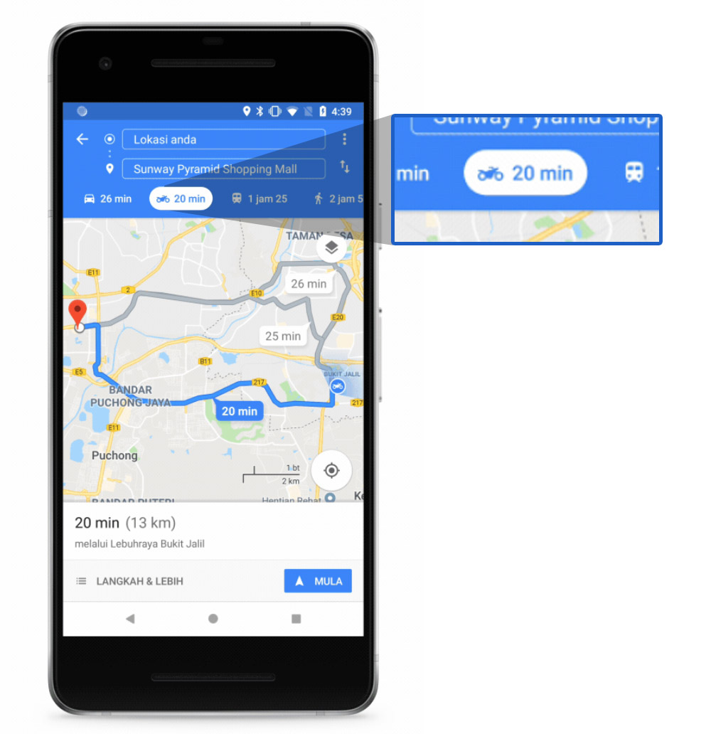
In addition, the new mode can also provide a more accurate travel time that is based on machine learning models that reflect riding speed. Naturally, the more people use it the more accurate it gets. Also, the landmark-based navigation includes prominent structure to help the user with pre-trip planning.
The latter is particularly important because it seems that Google expects the rider to use the mode before starting the trip, figure out the route and preferably continue on the journey without constantly checking the map while riding thus making it dangerous. Of course, riders will do what riders want to do anyway.
Another function that Google introduced before this is that helps transit riders to never miss their stop as Google Maps will send an alert for when to get off.
The user will need to download the latest version of Google maps in order to gain the motorcycle mode. Don’t fret if you don’t see it immediately; either wait for the function to appear as the old one is flushed out, or clear it from the most used apps before restarting it.